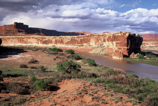
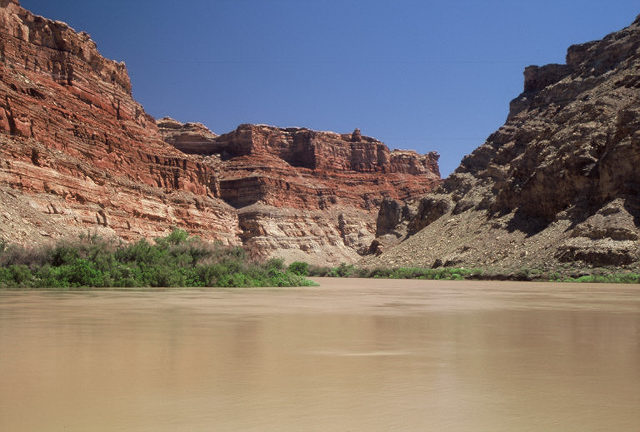
Our next campsite was at Anderson Bottom at mile 31. This was a wonderful campsite with large cottonwoods to shade us. There was also a spring that allowed us to replenish our water supply. The photo here is taken on the way to the spring. The river makes a sharp 180 degree bend around the long ridgeline which is visible.
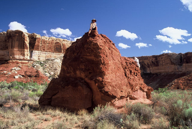
This large "boulder" was just a short distance from my tent. I set the timer and attempted to climb up to the top and join Kate before the picture was taken. However, the rock was crumbly and 10 seconds just wasn't enough time.
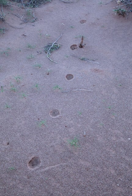
We took a hike after dinner and found these tracks in the sand. Anyone think they know what they are?
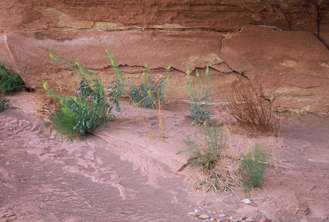
During the same hike in Anderson Bottom we passed this small alcove. The flowers blooming in the alcove are Prince's Plume. These were extremely common throughout the entire trip.
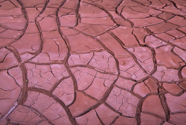
At the end of this hike as sunset was approaching, we hiked into a large amphitheater. Water actually flowed towards the back of the amphitheater, so there was a small pond at the far end. This was dried mud at the edges of the pond. The amphitheater had excellent acoustics.
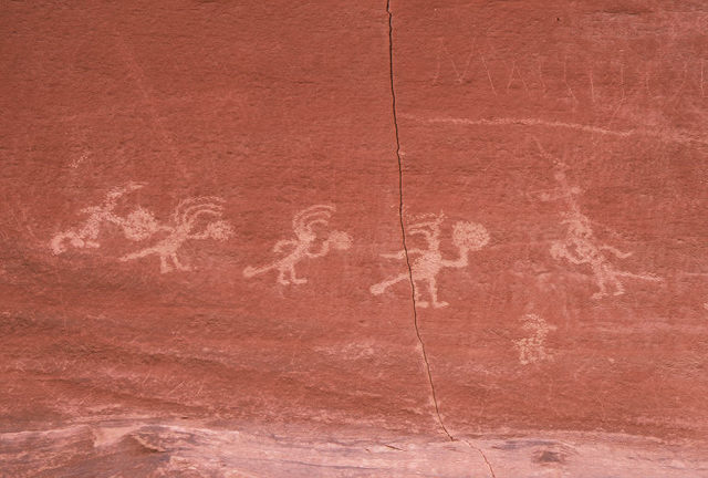
Here's another of the petroglyphs seen during the trip. Unfortunately, there's some recent graffiti on the upper right. I'm not sure what the figures in the picture are doing but I could imagine they are shaking tambourines.
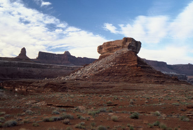
Our next campsite was at about mile 20 in Deadhorse Canyon. From that campsite we were able to hike to the well-known feature Turks Head. This feature is visible from several spots along the river upstream of our campsite. As the attached link states, we should have seen granaries but apparently we were hiking too fast and missed them.
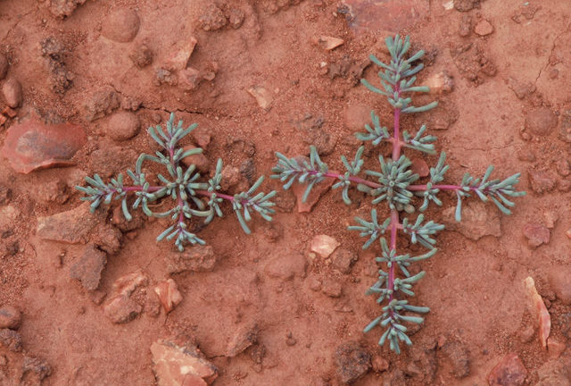
These plants were all over the ground during our hike around Turks Head. If anyone knows what they are, please let me know.
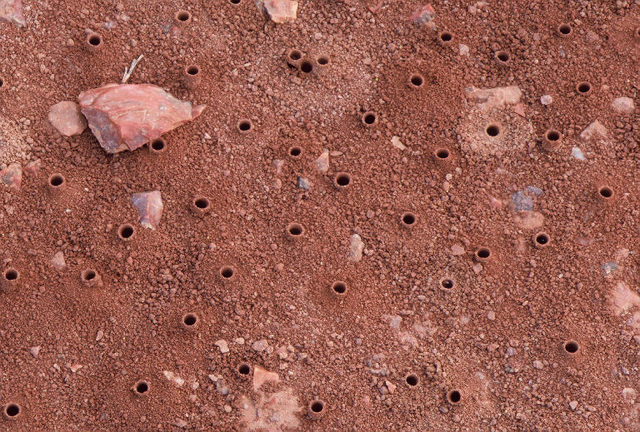
These holes in the ground were observed along the hike to Turks Head. They are made by the larvae of Tiger Beetles.
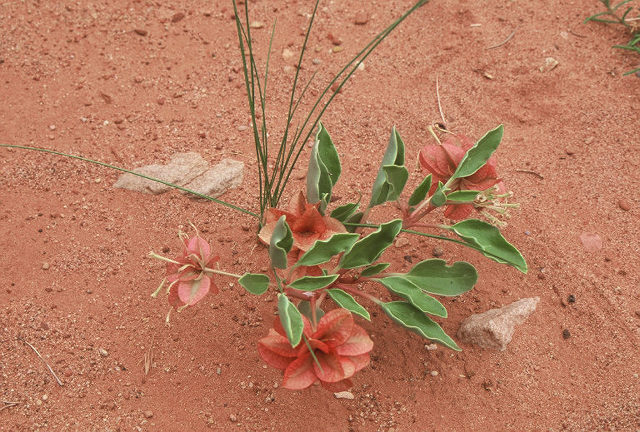
This was growing near our campsite in Deadhorse Canyon. The seed pods are fantastic! I am reasonably sure that it is in the four o'clock family Nyctaginaceae. If anyone agrees (or disagrees), please let me know.
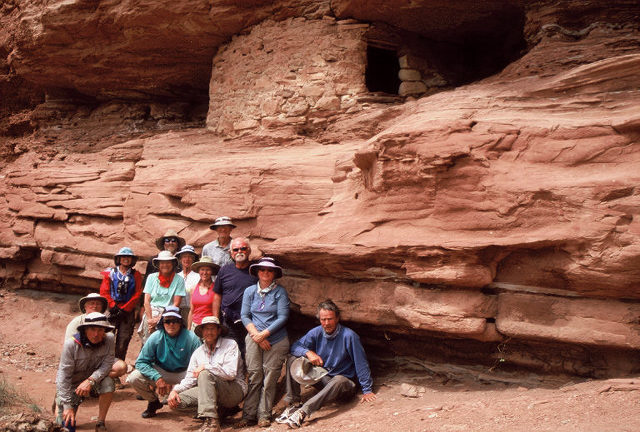
During our next day on the river, we stopped at Jasper Canyon at about mile 9.5. It was just a few hundred meter walk to this granary. Most of the group are included in this photo.
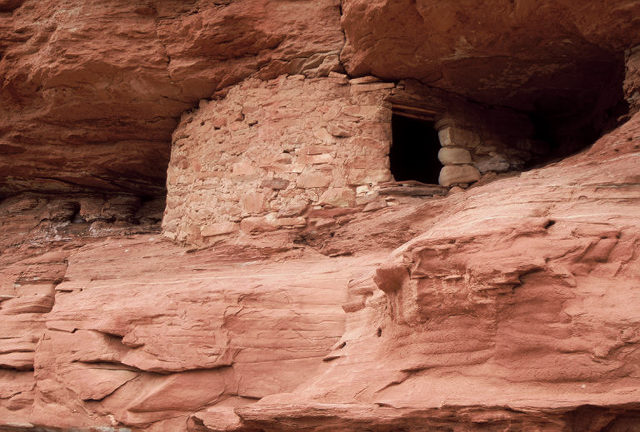
Clearly, this is the same granary: I just zoomed in.
We've now finally reached the end of our trip. This is the confluence of the Green and Colorado Rivers. We waited at this spot for a water shuttle to take us back to Moab. If you continue downstream you reach Cataract Canyon (Class IV, V water) in a few miles - not a place for a sea kayak.
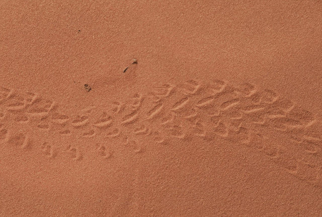
After we got off the river, Kate and I spent a day at the Arches National Park. This image shows beetle tracks in the sand.
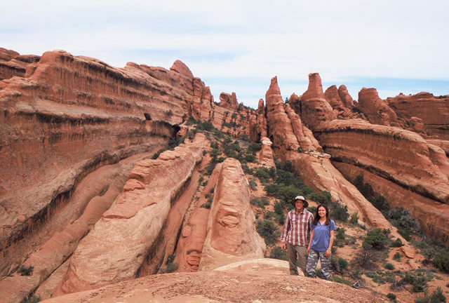
We were hiking in a wonderful part of the park referred to as Devil's Garden. There were hundreds of these narrow rock fins which were fun to climb on. Unfortunately, after that we had to go back to Tucson.