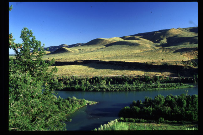
These look a bit like sanddunes but they are just hills visible from a rest stop along R26 in southeastern Idaho.
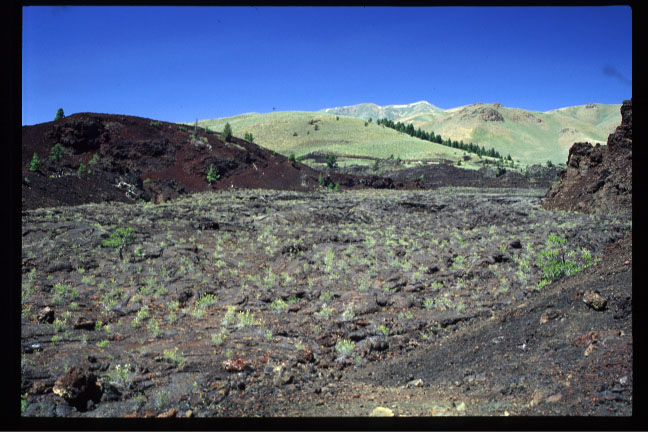
This is from Craters of the Moon National Monument. It shows where the lava broke through the crater wall (middle right of photo) and flowed out.
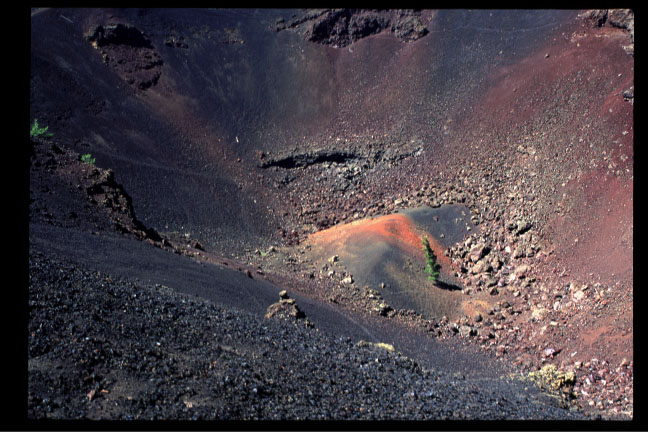
This is the remnants of a cinder cone. Notice the tree growing out of the cinders.
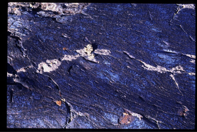
This is actually lava and the color is real. I don't remember the details but it has to do with chemical reactions occuring at the surface of the lava flow as it cools. It is called bluedragon flow. The image is about 10 inches wide if I remember correctly.
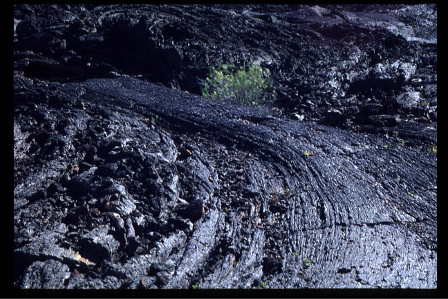
Here is an obvious lavaflow which is designated as pahoehoe for smoothly flowing lava.
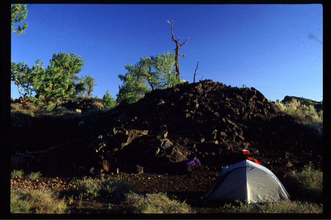
Here is a photo of the campsite me and friend Dave Rader had in the wilderness area of Craters of the Moon.
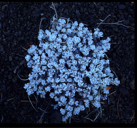
This is a dwarf buckwheat plant which grows in the cinders. Many of the areas are "dotted" with these plants.
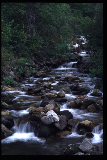
This is a stream which passes under the Lewis and Clark Highway (R12) which runs east-west across central Idaho.