Eastern Wyoming and
the Bighorn Mountains
-
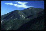
 Devils Tower
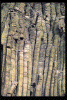
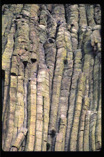
- Although this may mostly interest geology-nuts like myself, here is a
photo (with climbers) of the upper (highly eroded) part of
Devils Tower National Monument.
-
 Devils Tower
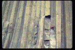
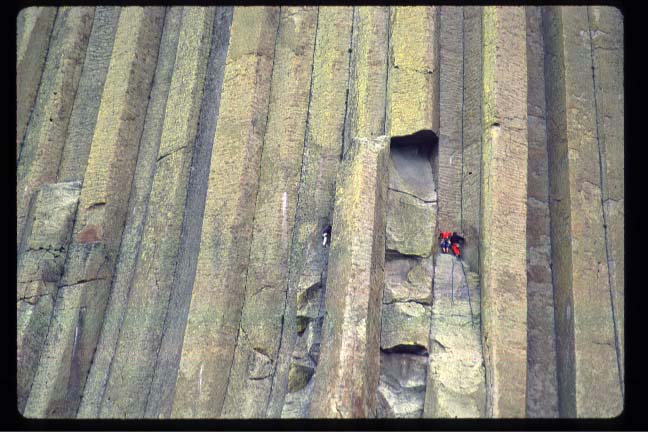
- Here is a photo (with climbers) of the lower (weakly eroded) part of
Devils Tower.
-
 Bighorn Mountains
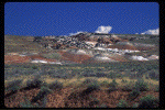
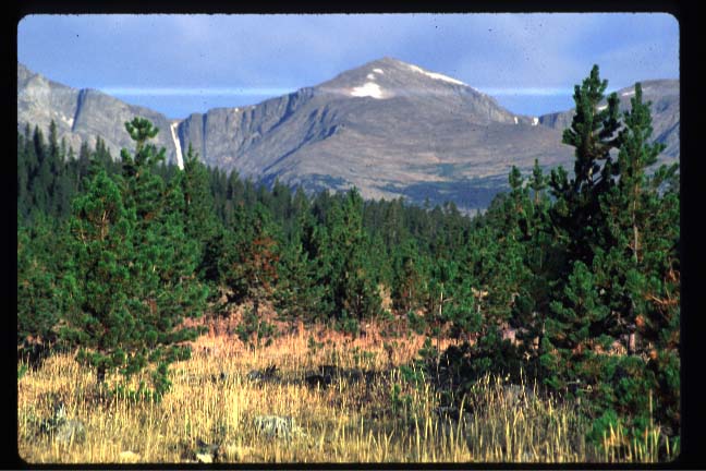
- This was taken in the Bighorn mountains of north central Wyoming
near a USDA Forest Service road.
-
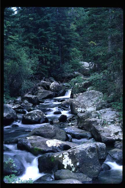
 Mountain Stream
- This was also taken in the Bighorn mountains. It is in "Crazy Woman
Canyon".
-
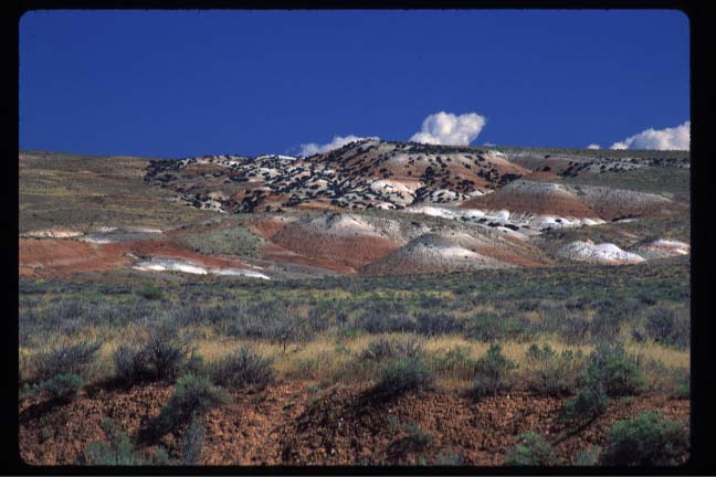
 Western Foothills of the Bighorns
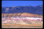
- The was taken along the western foothills of the Bighorns. I was on the
Bureau of Land Management's
Red Gulch/Alkali
Backcountry Byway. Of the 32 miles on the road, 26 or so were fine
for 2-wheel drive. The other 6 or so were pretty nasty. High clearance
would have definitely helped. Anyways, the terrain was beautiful. The
colors of the soil are positively stunning. I strongly recommend this
road if you get the chance.
-
 Western Foothills and the Rise of the Bighorns
- The was also taken along the Red Gulch/Alkali Backcountry Byway. The
Bighorns mountains rise up in the background. It is difficult to take
photos here due to a lack of strong features, but this is pretty
representative of the terrain.
-
 Bighorn National Forest
- The was taken along the eastern edge of the Bighorns from R 14 where the
mountains rapidly drop to the plains below.
Back to Drew's Home Page,
Photo Page
December 18, 1997 - (
milsom@physics.arizona.edu)
 Devils Tower
 Devils Tower
 Bighorn Mountains
 Mountain Stream
 Western Foothills of the Bighorns
 Western Foothills and the Rise of the Bighorns
 Bighorn National Forest