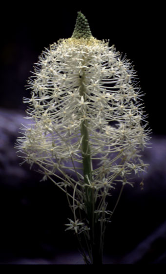
This is a detail photo of beargrass taken in Lolo National Forest near Lolo, Montana.
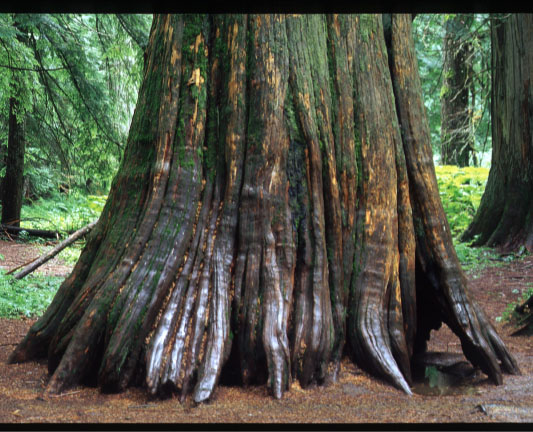
This is a western red cedar hollowed out by fire. It was taken at the Ross Creek Cedar Grove in Kootenia National Forest in Montana.
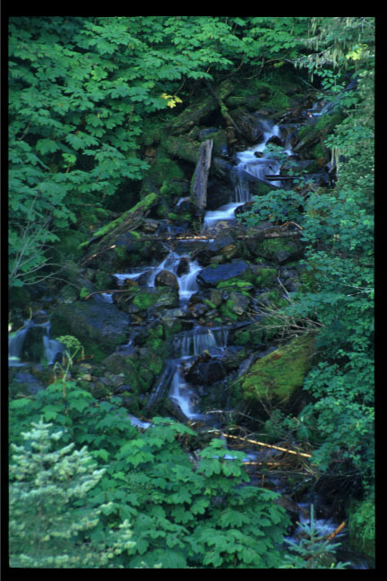
This is a stream which enters the reservoir created by the Hungry Horse Dam. This dam on the Flathead River is the dam furthest upstream on the Columbia River system.
This is some of the beautiful scenery surrounding the Hungry Horse Reservoir.
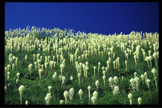
This is a huge field of beargrass in Glacier National Park. It lies along the Highline Trail and is also accessible by a steep (and dangerous!) climb up the waterfall near the Weeping Wall on Going-to-the-Sun Road.
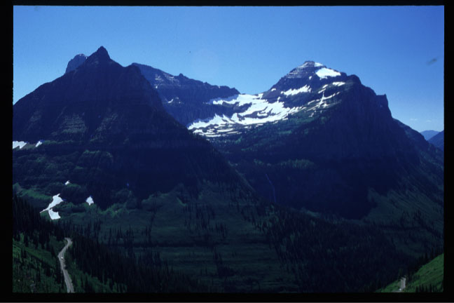
This is a lovely glacial cirque taken in the same area as the previous photo. You can also see how far above the Going-to-the-Sun Road I am at this point.
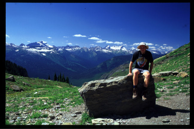
This is a photo of me taken in the same area.
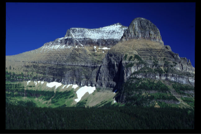
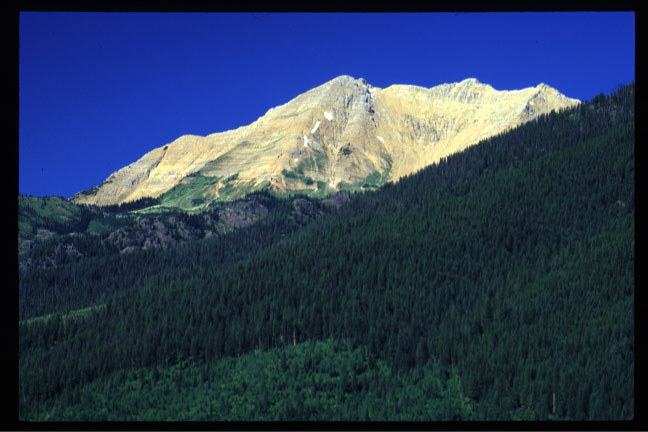
This is Going-to-the-Sun Mountain taken from Going-to-the-Sun Road. The second set of Montana photos shows pictures from a trail I took around this mountain.
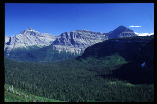
This is just a "simple" valley visible from Going-to-the-Sun Road.
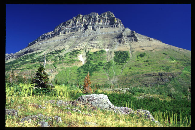
This is Mount Grinnell which rises alongside the trail to Swiftcurrent Pass in Glacier National Park. The tall narrow plants are beargrass not in bloom.
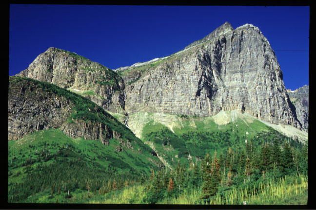
The bottom of the "V" at the top of the mountains is Swiftcurrent Pass. This is taken from the valley shown in the next image.
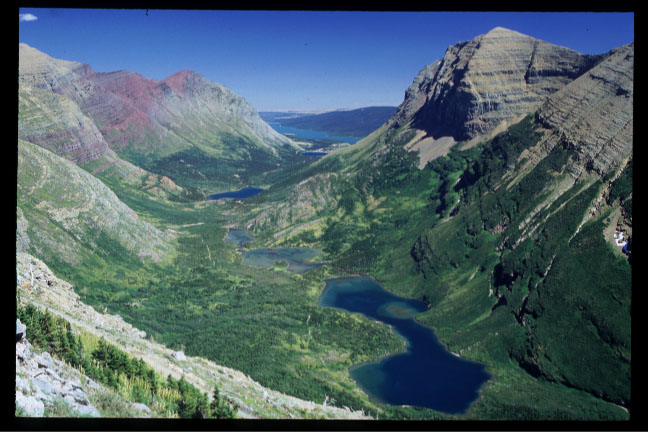
This shows the valley carved by the glacier. The trail is visible in the valley on the left side of the lakes.
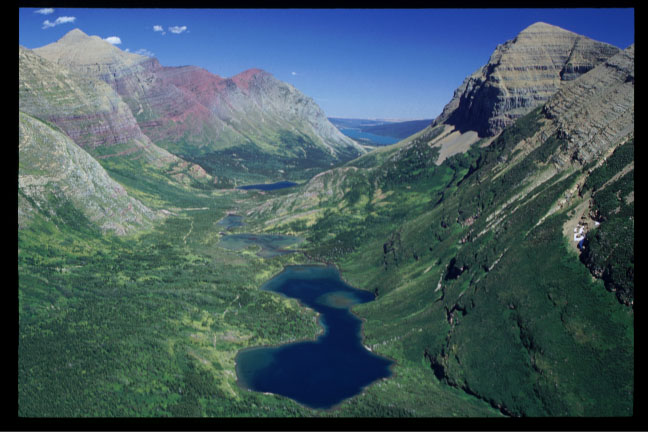
Here is another view of the same valley.