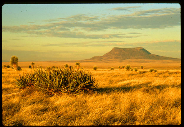
This photo was taken along R62 between Guadalupe Mountains National Park and El Paso. The lovely mountain in the background is probably located on a military base in southern New Mexico.

This is a typical view of Chiricahua National Monument in southeast Arizona.
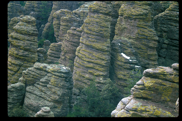
Here is a detail photo of some of the columns at Chiricahua National Momument. Unfortunately, It was pretty overcast when I took this. Some snow is visible in the photo. The sections of the park we visited were as high as perhaps 8600 feet. The south-facing slopes were dry but the north-facing slopes had a fair amount of snow. At higher elevations, the snowcover was quite deep.
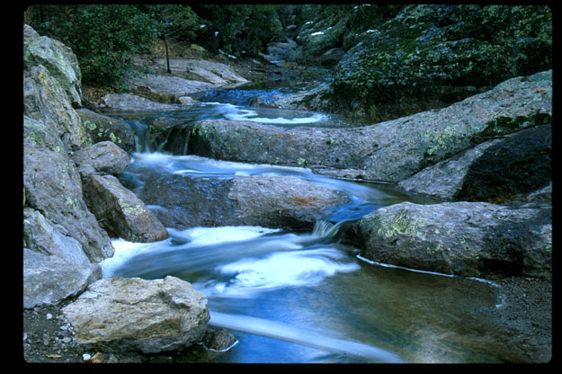
This is a time-lapse photo of one of the lovely streams at Chiricahua National Monument.
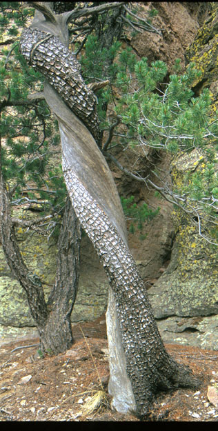
Here is an extremely twisted alligator juniper growing in Chiricahua National Monument.
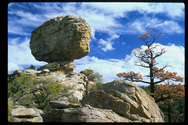
Here is a balanced rock at Chiricahua National Monument.
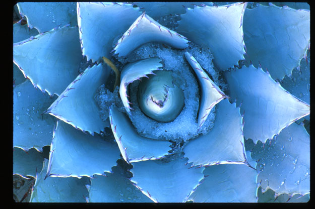
Here is a photo of an agave which I took in my friend Ralph Williams' garden. Note the snow/ice and the reflections of its spines.
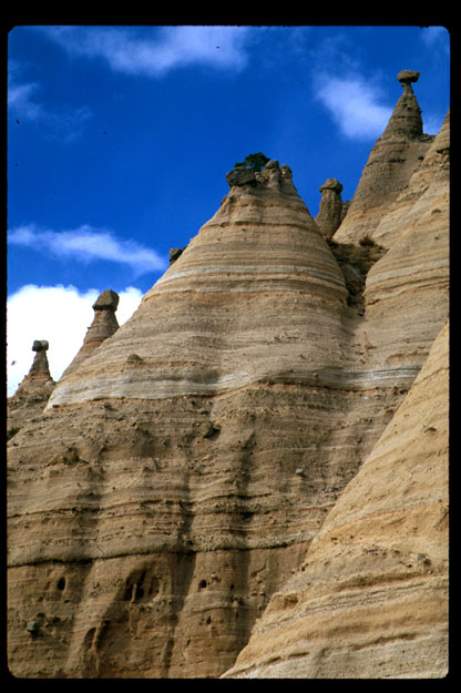
This photo was taken at a place on BLM land called Tent Rocks. Note the large rocks on top of the spires. Unfortunately, many have been knocked off by idiots with guns. Note that there is a tree growing from the top of the central spire.
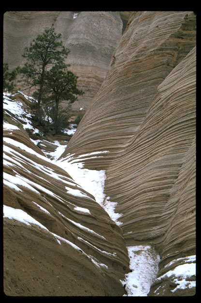
This was also taken at Tent Rocks. It shows some of the nice strata visible in the rock.